Based in Berlin and first launched in 2010, Komoot was created to provide cyclists and hikers with an advanced route planning and navigational tool. In the years since, their iOS and Android based platform has added features and greatly expanded the coverage area to now include North America. The multi-layered system has steadily gained usefulness in large part to open-source data collection and a growing community of users.

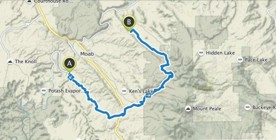
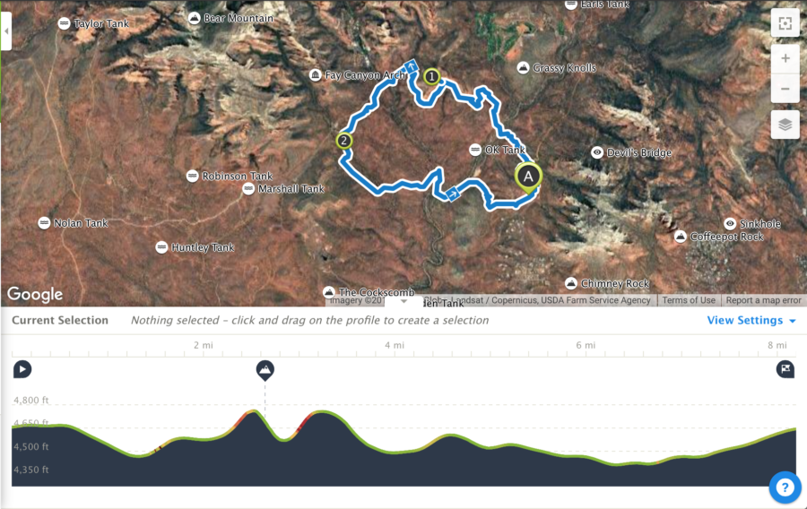
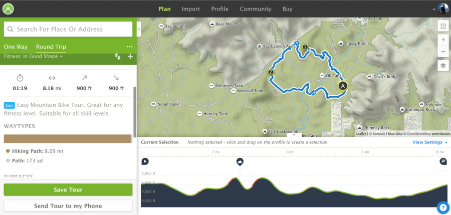
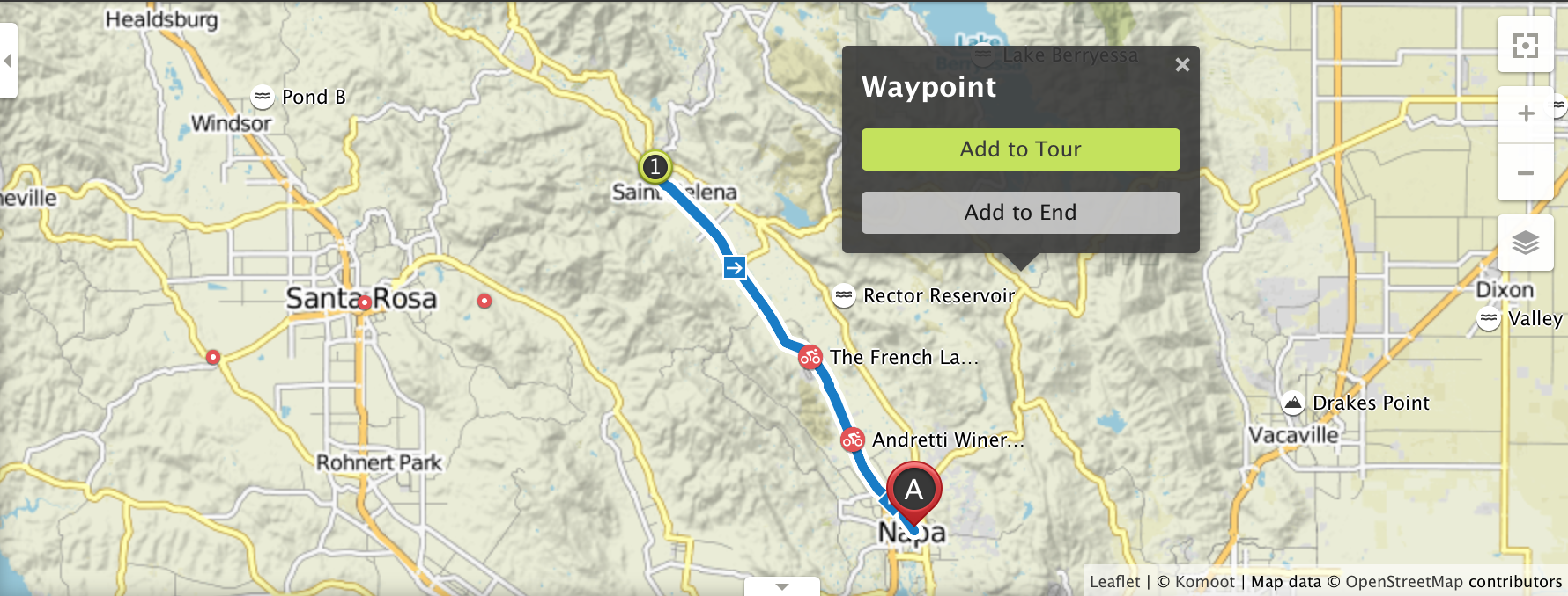
Whereas many mapping systems only indicate roads and trails, Komoot goes a step further and suggests ideal courses based on a number of user-specific variables. The route selector can factor in fitness level, road surface, and it can accommodate custom inputs like scenic views, points of interest, restaurants, or other mid-route waypoints. One unique attribute is the ability to incorporate a mix of paved and unpaved roads, as well as fold in pathways, bike lanes, and trails. Each suggested route is accompanied by an elevation profile and can be viewed in a number of different map formats from topographical charts to satellite imagery overlays.
Once a course has been chosen the navigation and recording features are activated which include clear and audible voice commands for turn-by-turn directions, and a large readout to display time, distance, and other real-time metrics.
In order to make the platform as robust and useful as possible, users can also import existing GPX files, or share recorded tracks with other members of the Komoot community. Users of Garmin devices can connect to the Komoot app for added accuracy and additional data gathering. For riders pushing further afield, the regional maps can be downloaded for use offline. The app and the first regional download are free with additional segments available for only $3.99. If you want to purchase the entire Komoots inventory of maps, that can be had for $29.99.
Initial Impressions

I am fortunate to live in a part of the United States where our mountain bike trail system grows by the week. As such, many mapping systems are slow to keep up. I was shocked to see the Komoots database included trails added to our network in just the last few months. On the downside, most of the trails visible on the Komoots map are not labeled by name or number, listed only as a line designating a trail.
For road or mountain bike riders headed off to an unknown area, the route suggestion features are impressive and advanced enough as to recommend rides with low traffic and high fun factor, but there isn’t much additional information provided. Another quibble was the lack of specificity with well-known route and trail system names. If you’re looking to find the Lunch Loop trails on the edge of Grand Junction, Komoots won’t likely know it by name. For those applications apps like MTB Project might be the better solution.


Komoot is an impressive system with an easy-to-use interface and a great deal of functionality. To get maximum utility out of the route planning features some practice is required, but even the most reluctant technophobes will take to it quickly. As good as Komoots is, it isn’t perfect, but when used in conjunction with other apps like MTB Project and ROAM, I find I can quickly plot my next ride with no concerns of getting lost—unless that’s the plan.
