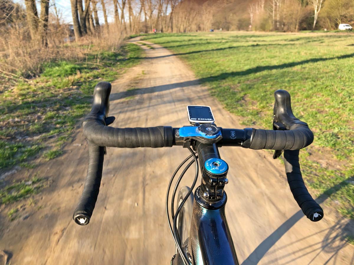
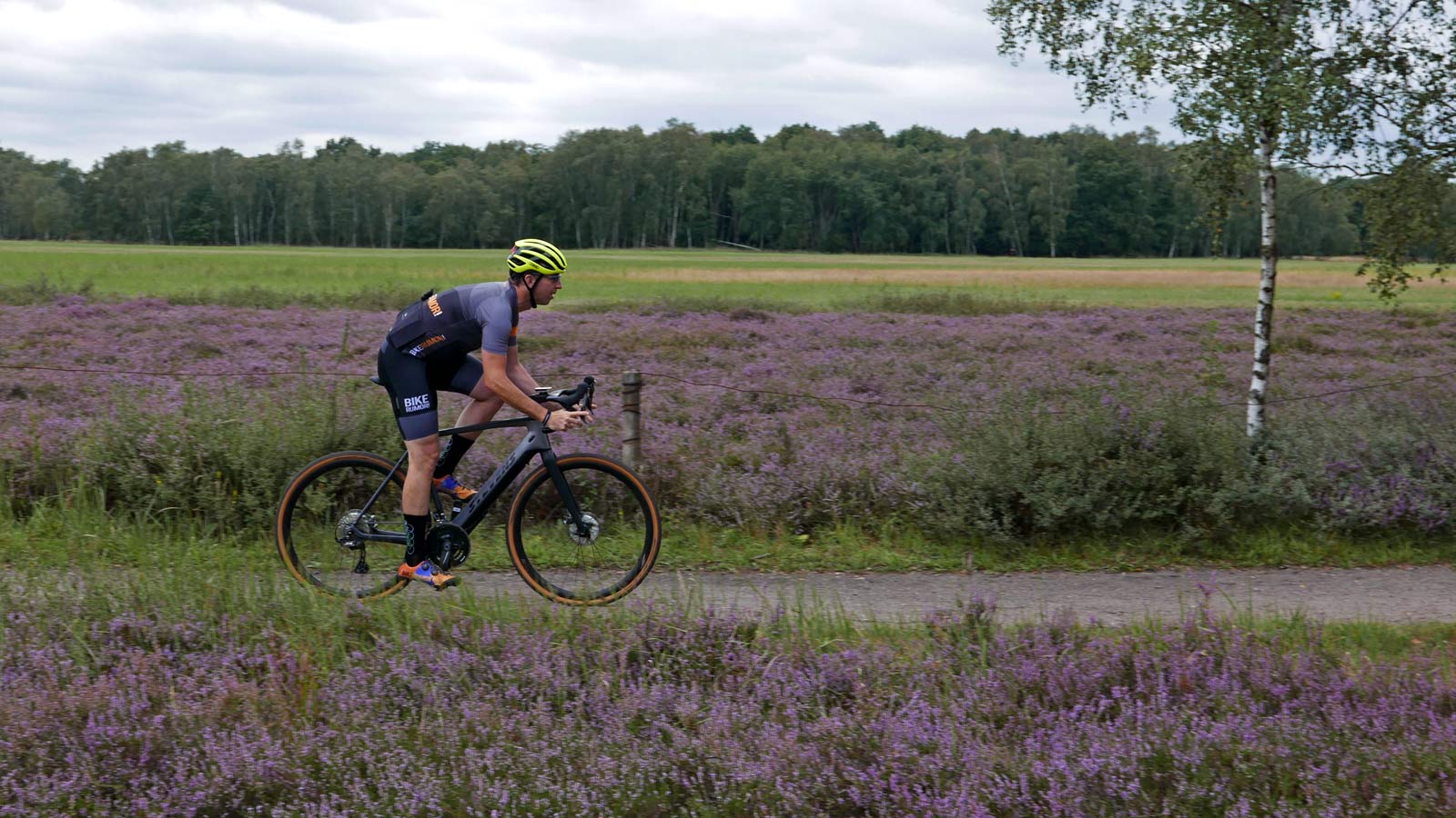
Seeking a break in my routine, I turned to Komoot to see if I could find some new gravel roads & trails close to home to link to together those I already ride regularly. A tricky thing about new technology – once you settle into one solution, inertia makes it difficult to really try something new. I had used Komoot dozens of times over the last few years, but almost exclusively when someone else had planned, then shared a track to ride somewhere unfamiliar to me. But once I realized how easy it can be to plan a ride on Komoot when away from home, or even when looking to explore locally, Komoot has become a helpful tool…
Komoot, ride routing or ride exploring?
While I am always up for exploring new places to ride, it’s easy to get stuck in a rut riding from home. I know the quietest bike path to get me out of the city. I know the closest gravel roads I can get on without encountering any car traffic. And I know the two main trail systems that are the shortest pedal from my door. But, when riding to each of these handfuls of spots, it is easy to forget to try to make new connections.
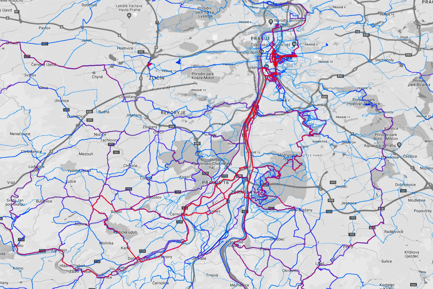
I ride a bike several times a week, year-round, but my Strava heatmap shows that I can get in the habit of riding the same trails (red line), while leaving plenty of areas completely untouched. That can often be helpful comparing test bikes, but is not perpetually interesting.
My riding at home can be basically split into gravel road riding and trail riding. Which bike gets stuck with which is always up for debate. But after living in the same district of Prague for more than a decade, I feel comfortable that I know most of the closest mountain bike trails, and find new singletrack, new descents & new jump lines close to the city through word of mouth. So, I almost never use tech to find new mountain bike rides.
But gravel riding is a completely different story. There is a seemingly infinite network of gravel roads, double track and hardpack trail within a couple hours ride of the city. The ability to cover more ground on a fast moving gravel or all-road bike brings more riding within reach. But I still seem to ride mostly the same routes I’ve ridden before.
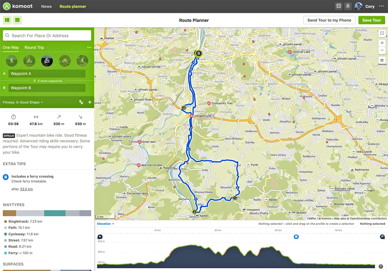
That’s where Komoot comes in. By making it easy to create routes on the browser-based Route Planner (logged in via Facebook for me), or my preferred method with the mobile phone app, I can pick a few key points and let the robots pick a new route for me.
Want to know more about what Komoot actually is, how free it really is, and how it got started? Check out the detailed Komoot overview Tyler wrote earlier this summer.
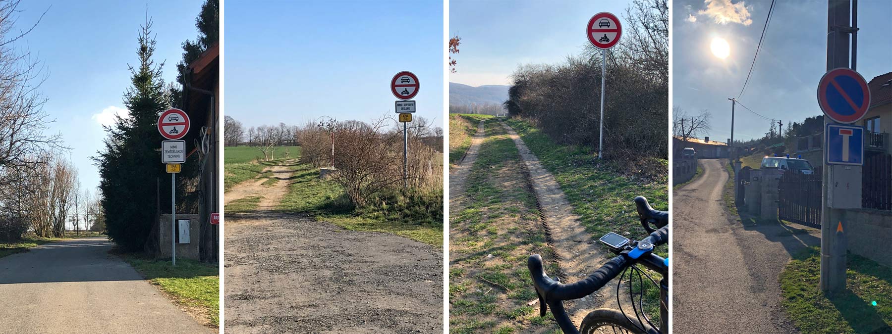
Sometimes that means Komoot picks the same trail I already know. But by selecting the start of key segments that I know (I like to ride where there are signs telling motor vehicles to stay out), I’ve had good luck linking together points I wouldn’t normally ride together to get a new and interesting route.
Selecting your style of trail or route to ride
As a general rule when I plan rides on the Komoot App, I’ve found the routes to be relatively conservative. Pick Road, and you never leave hard asphalt. Pick Gravel, and you won’t likely leave hard surfaces.
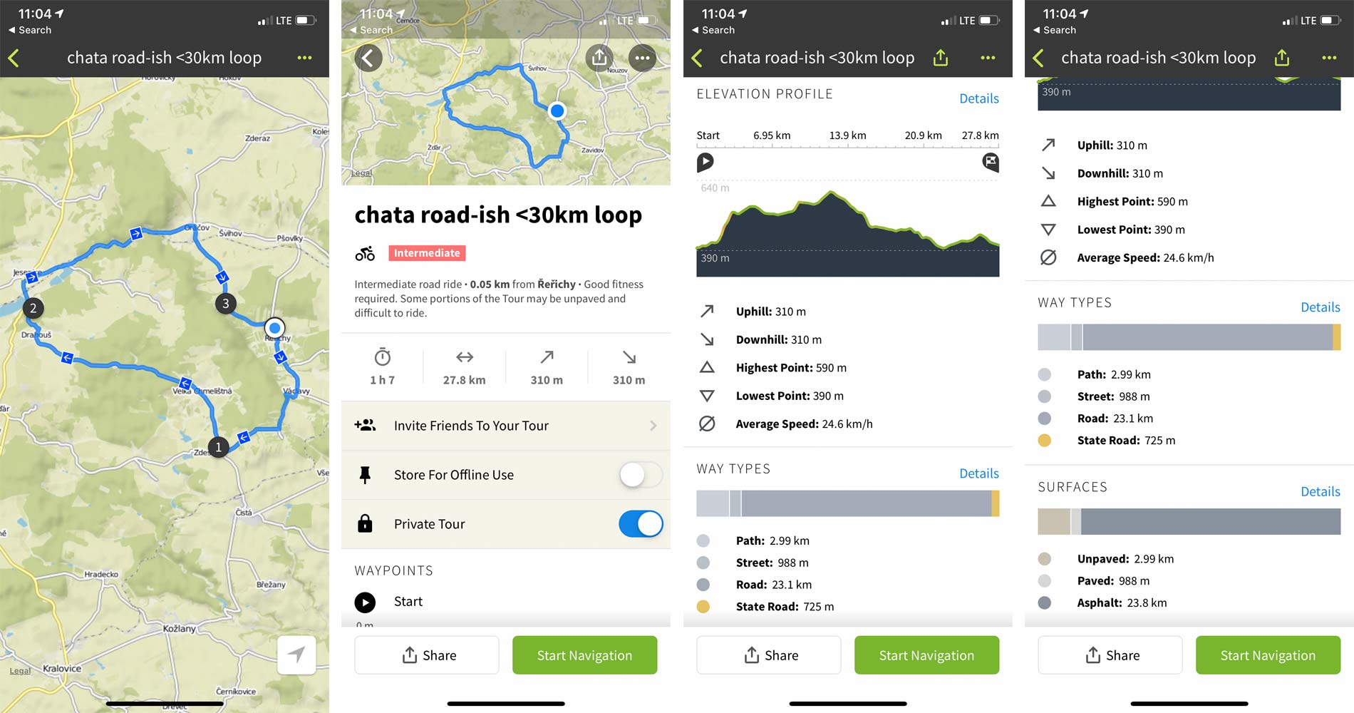
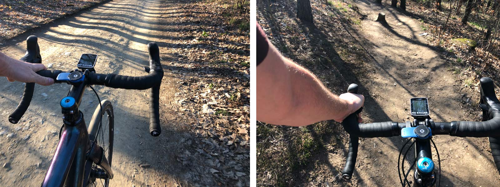 Coming from a mountain biker background (and knowing there isn’t much super technical trial near home) I generally pick Mountain Biking when I am riding a gravel bike, or even Mountain Biking (Alpine) if I ride a bike with 2″ or bigger tires. That’s done a pretty good job at getting a range of trail surfaces in, while the Komoot ride stats break down the “Way Types” how a route is designated and “Surfaces” what the riding surface is actually made of (check the screen grabs below) so you always know what you are getting into.
How-To: Planning a route?
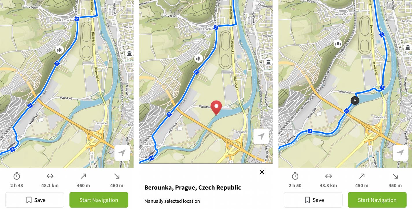
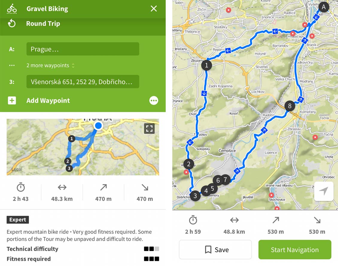 Planning a ride is pretty intuitive, whether from a computer or a mobile phone. I tend to use the mobile app, simply because planning a new ride tends to be pretty last minute for me. Just pick your style of riding. Tap where to start, and keep tapping points along the way. Komoot fills in between line pretty much any navigation app, picking tracks appropriate to the selected ride style.
If and when it routes past a section of trail you want to hit (here on the left it picked the shorter road instead of a nice section of gravel), it is easy to tap and add another point in the middle of your ride to “include on the route”.
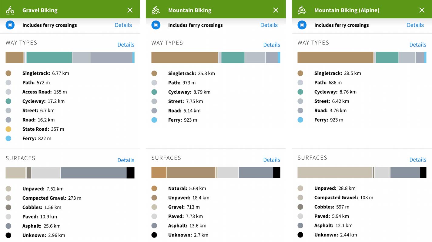 Breaking down the route surface into “Way Types” and “Surfaces” gives an easy to understand overview of what to expect. It also lets you go back and upgrade your planned route to a harder style if you see there is too much asphalt on your planned gravel ride (at left) for your liking.
Overall, once you plan out the route, there is a good summary of the trip, giving you the option to invite others to ride it, save it locally on your mobile phone for offline use, or making it viewable by others on Komoot. If you want to use your phone for navigation, you can start that right away. Or once you save it to your account as a planned ride, you can access it from Komoot-compatible GPS cycling computers.
How-To: Getting that route on your GPS device?
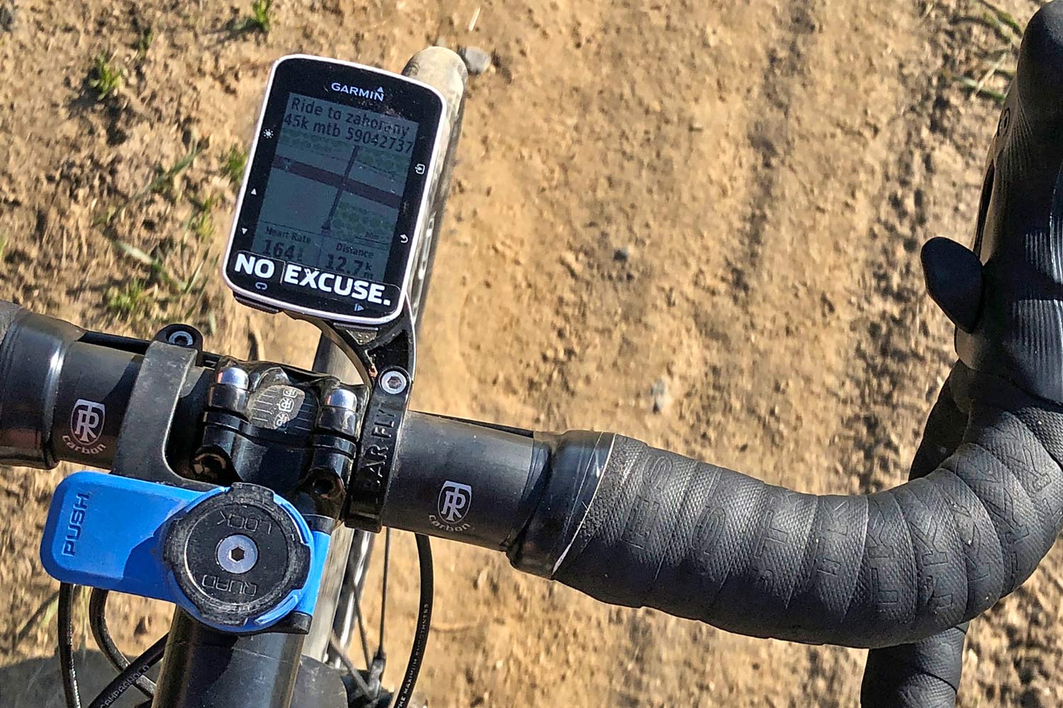
It depends a bit from one platform to the next, but many devices are compatible with Komoot apps. Zach & Tyler both send Komoot rides to Wahoo devices, but I still prefer a smaller Garmin Edge 520, once of the more basic Garmin devices that use their Connect IQ apps.
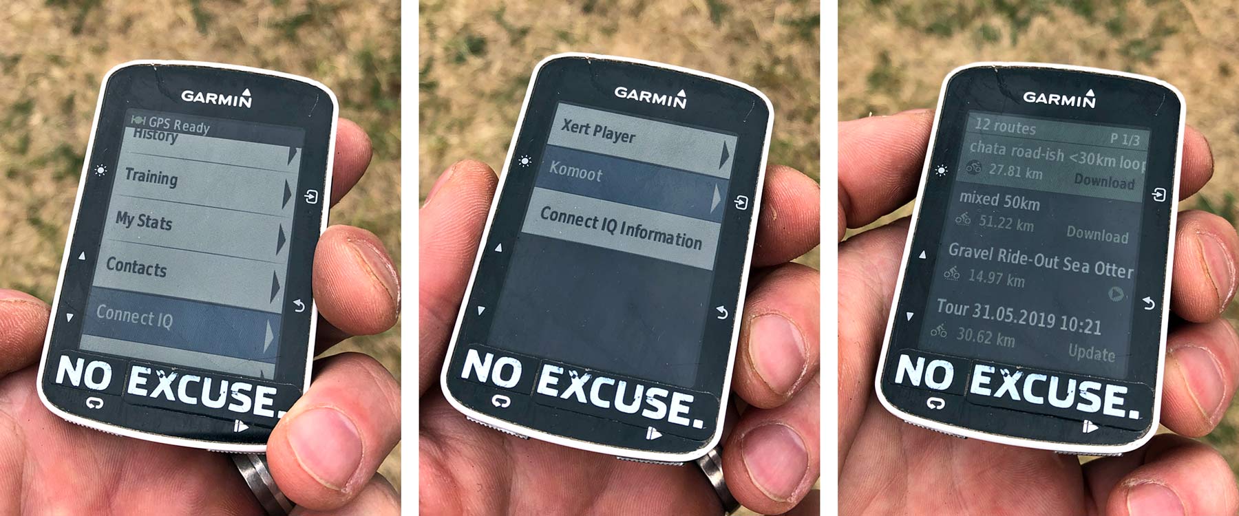
With the Garmin paired to my phone, I can just scroll down to the Connect IQ page and select the Komoot app (which I already downloaded onto my GPS with the Garmin Connect app). There I can see all of the rides I have saved as ‘planned’ in my Komoot profile, and I can pick to download, then select the ride I want.
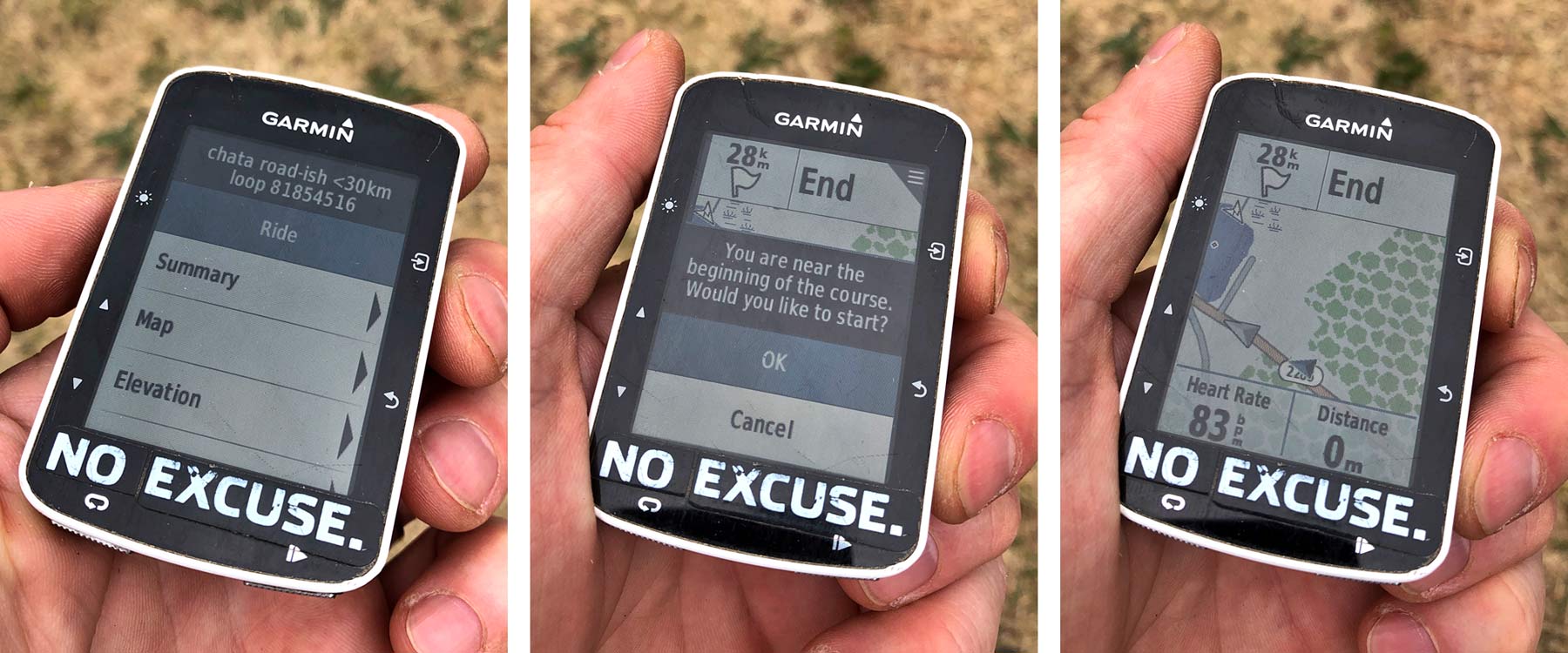
Once in the ride page, you get a summary, and can start navigating along the route, just like you would any other track you would follow on the Garmin. Note: this was what the Komoot app on the Garmin displayed a couple weeks ago.
Thanks to the benefits of over the air updates, Komoot reworked their maps into HD last week, and revamped a new Garmin Connect IQ app that brings much more detail to your GPS. Now you can see a preview of the circuit, elevation data, and the details on the Way & Surface like you see in the mobile app.
Final Thoughts: Routing with Komoot
Altogether the ease of mapping, the ease of getting the maps onto my GPS, and the ability to tune the style of ride I want to go on has transformed Komoot into my go-to app for ride planning. Sure, most of my rides will still involve me getting on my bike and just riding.
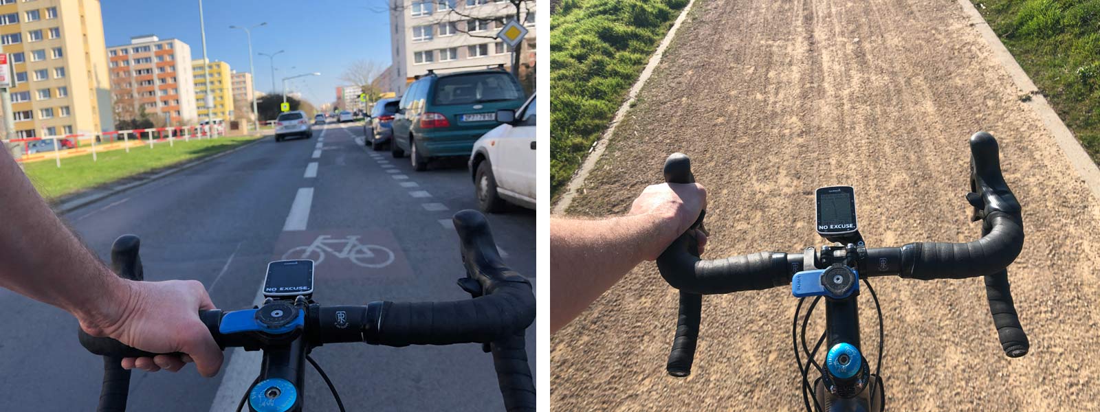
But last weekend, when I found myself in Hamburg on a bike with no planned route, I spent 5 minutes playing with the map in the Komoot app. At the end, I had a route loaded onto my Garmin to follow neighborhood streets to an urban forest where I found excellent gravel & sandy trails that I would have never discovered otherwise.
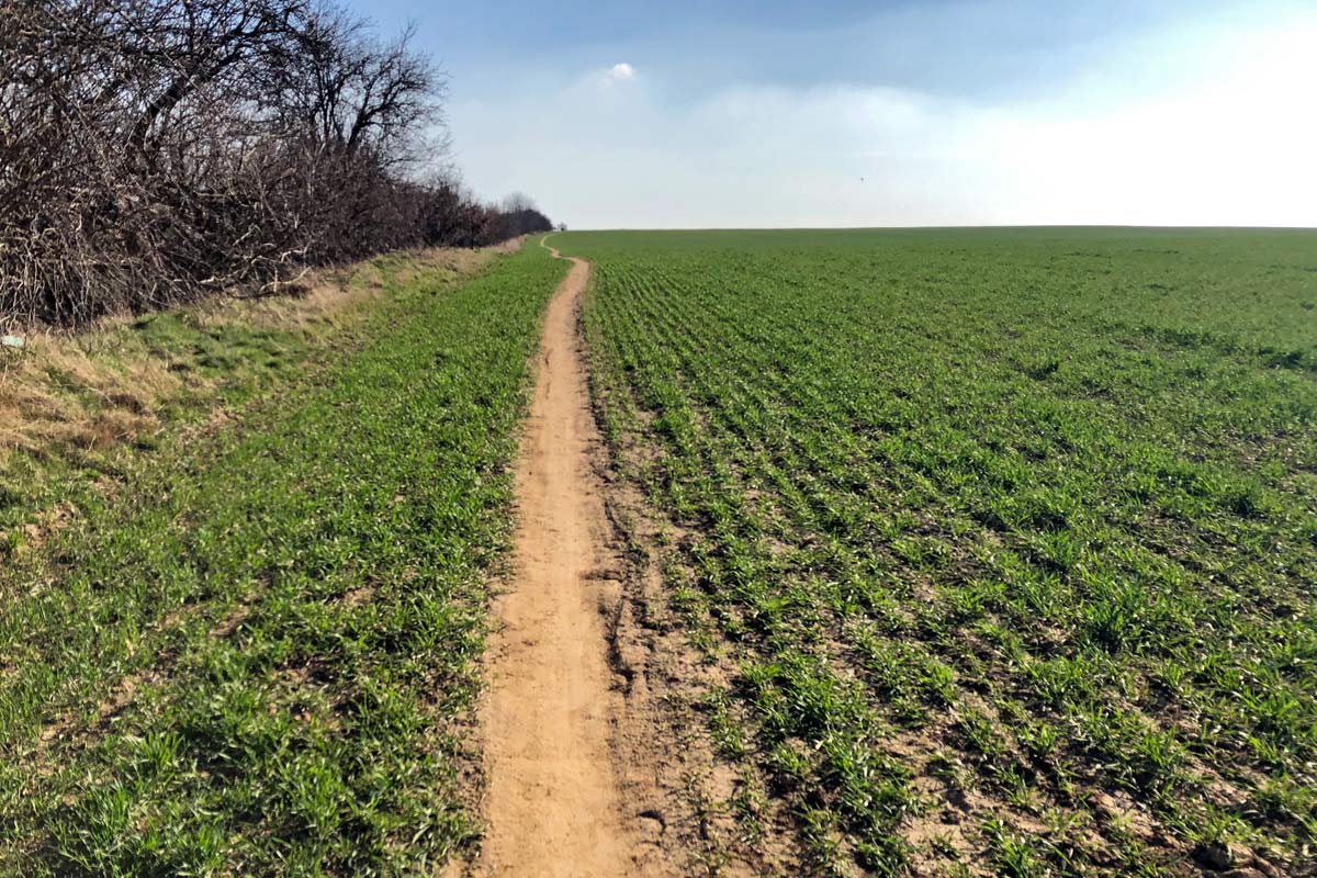
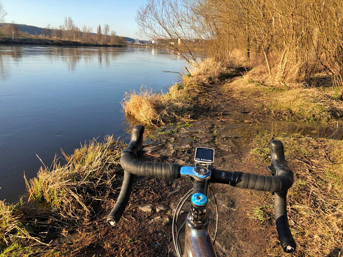
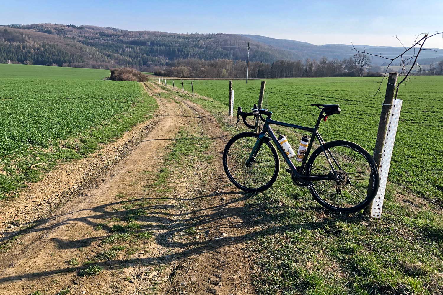
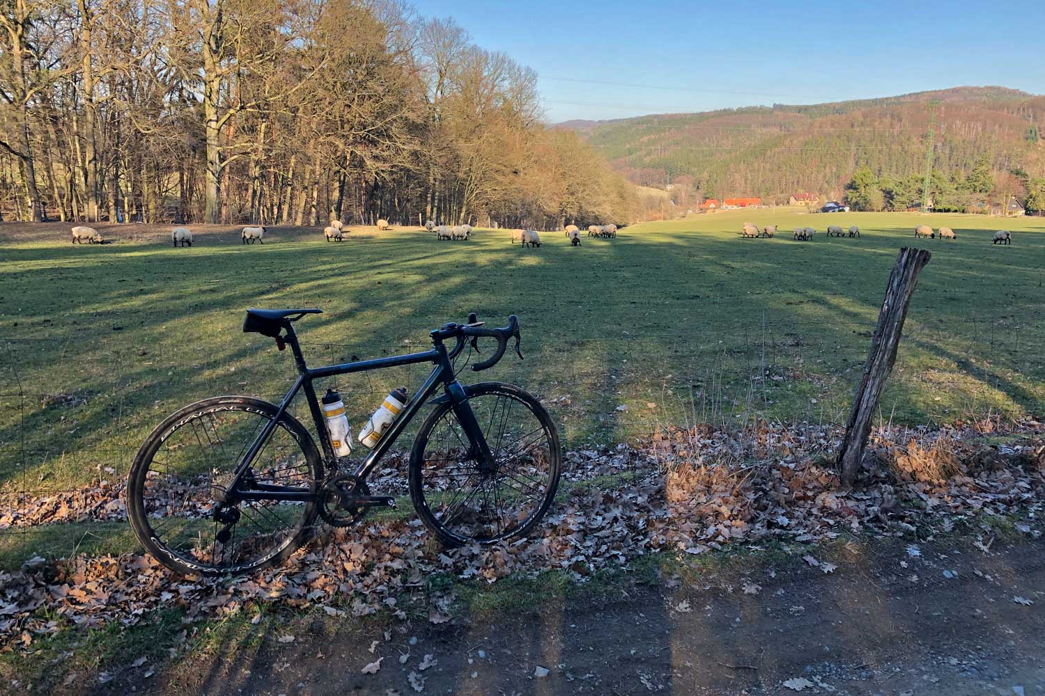
As for these other two BAAF (bike against a fence) photos… They were both taken within 1km of a route I have ridden dozens of times. And they are both extended sections of gravel road & hardpack field road that I have never seen in a decade riding this exact area, which I likely would have never discovered if not for playing with Komoot.
Full disclosure: Apparently this is part of a larger promotional campaign with Komoot, here on Bikerumor.com. I guess that means they’ve been advertising with us this summer, but I don’t really know. I volunteered to write a review since I’ve been playing with the app a lot this year, and found it to be genuinely useful. If you want to explore more by bike, I suggest you try it out as well.
