Komoot have taken their ride planning maps to the next level with a simple, by much improved switch from standard resolution raster map tiles to an all-new high-definition vector map background that makes navigating faster & more precise. Plus, for all the users out there pairing Komoot rides with their Garmin devices, a new Connect IQ app brings extra functionality and more ease-of-use…
Komoot maps go HD & vector based
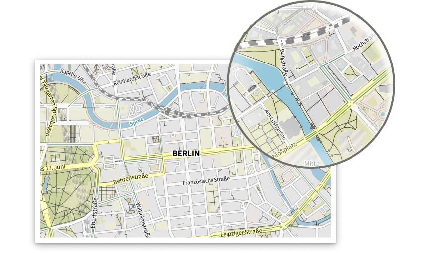
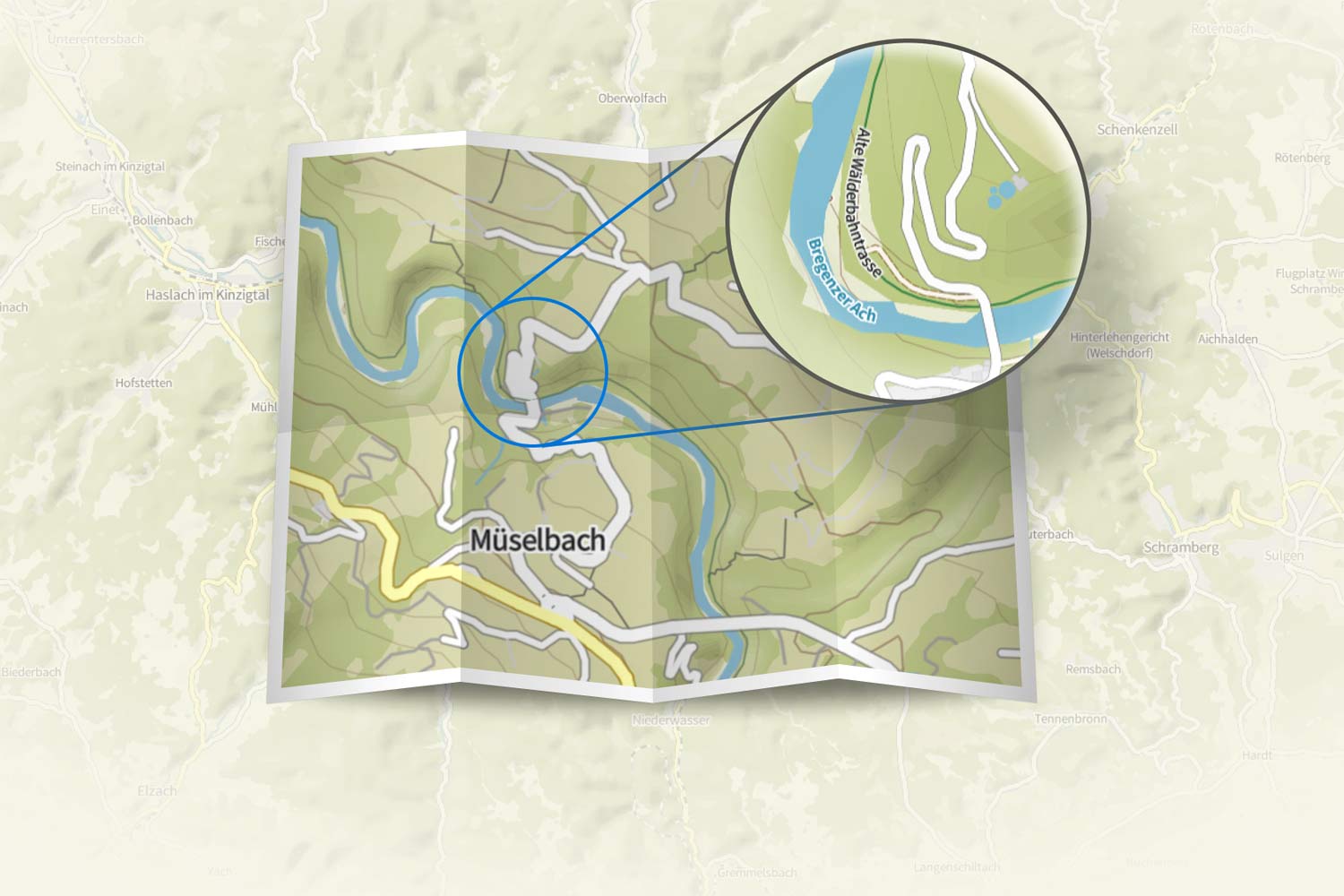
Upgrading to mapping that is faster loading, more scalable & more detailed is pretty much a no brainer for a ride planning app. You get all of that with the latest Komoot web & mobile apps thanks to the switch to vector map data. It took a lot of behind the scenes work to make the switch, but the result are crisp maps that are easier to read (especially the place names), easier to plan rides on (find those little POIs), and easier to navigate (zoom tight to pinpoint every turn) – no matter how close you zoom in.
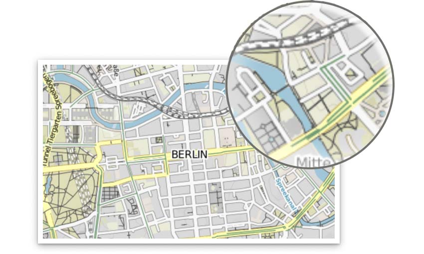
Besides getting consistent resolution & readability at every level of zoom (and the ability to zoom even closer), the new vector-based maps are much smaller files. That means a higher-res downloaded map on your phone will take up just 1/6 the space of the old raster map (and load 6x as fast). Remember raster files are a bunch of little images at each zoom level, vector files use just line data which is infinitely scaleable without loss of quality.
Komoot HD map availability
The whole idea of HD maps is to make Komoot ride planning faster, easier & more accurate on the go. The new vector-based HD maps are already live on komoot.com. On mobile, the Android app already has the new maps so you just need to update your phone’s app. For iOS, Komoot says they are currently in the roll-out process, which means us iPhone users will still have to wait a little while for the better mobile mapping.
Updated & improved Komoot Garmin Connect IQ app
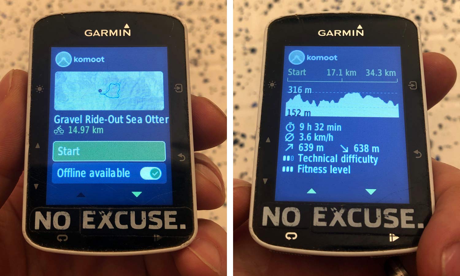
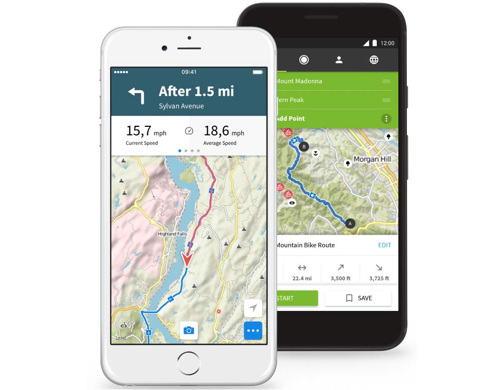
The new version 2.0 of Komoot’s Connect IQ app to work directly on modern Garmin GPS devices brings some significant improvements for better usability as well. While the original Garmin app allowed for easy wireless transfer of saved rides to a Garmin GPS, this new version is meant to add more of the same Komoot interface that you get in their mobile app, while also making it easier to sort and differentiate if you have a lot of planned rides.

The new app adds a filtering option to more easily sort and find rides planned in Komoot (by date, location, distance, and sport).
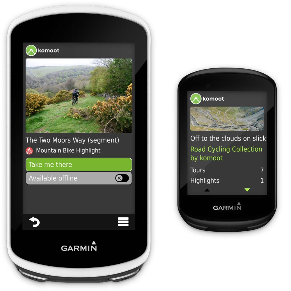
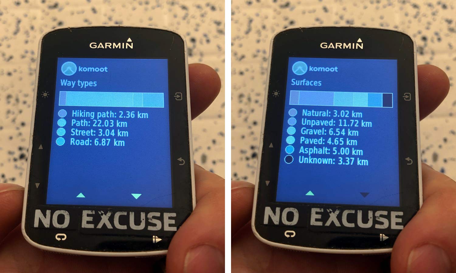
It also adds map previews and highlight photos to get a better feel for the planned ride. Plus you get the same nice breakdown of profile, ride stats & surface types like on the mobile app.
The new Komoot Garmin app is said to work with 40 Garmin devices. That includes all of the Connect IQ capable Edge cycling computers. I quickly updated my old Edge 520 with the Garmin Connect app on my phone, and now have the new sorting, map preview & ride data screens.