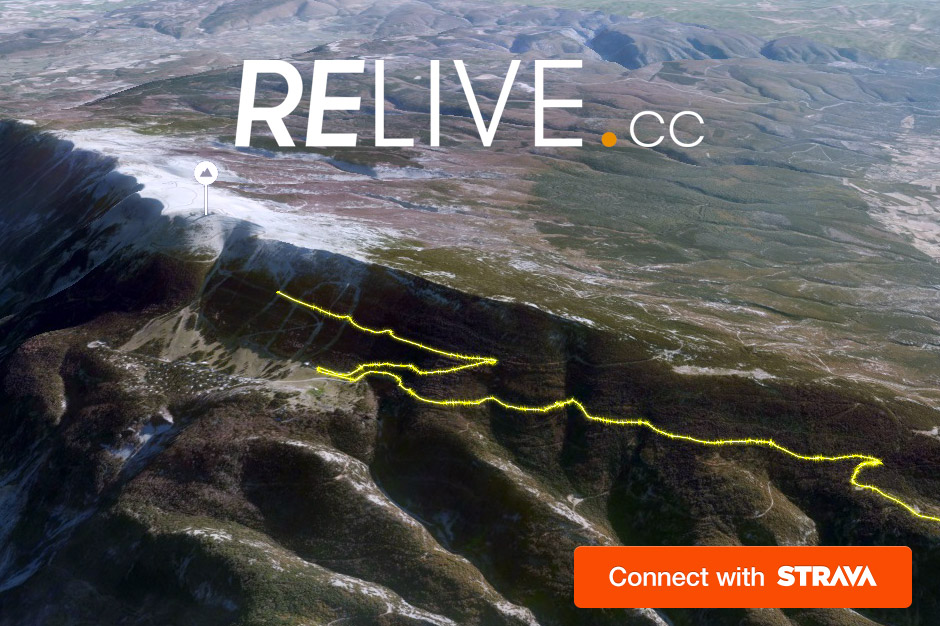
Another way to track your rides… a couple of Dutch guys went to ride the dramatic climbs and volcanic topography of the Canary Islands last year and came back wanting to share their adventure with more than just a line on a map and a couple of pics somewhere else, maybe on Instagram or Facebook. So they created an all new platform that works with the modular Strava API that pulls the data you collect with your GPS device and pairs it to a 3D mapped terrain model, then automatically adds in photos that you snap along the ride to create a movie highlighting your adventure. The process is incredibly simple once you link Relive & Strava. See how, and take a glimpse at one of the founder’s videos after the break…
Relive is still pretty new, having just started earlier this year, but has quickly expanded to more than 150,000 users in the last couple of months. The reason is probably how simple their process is:
- Just setup an account and connect it to Strava, so they can pull your ride data.
- Go ride your bike, snap pictures along the ride, then upload them together when you get back home.
- Relive will email you a link to the automatically created video clip a few hours later, with your activity data and photographs seamlessly integrated so you can share your ride.
The system needs at least a 10km activity to start with, so it won’t email me a video of every one of my trips to the office (which is good. Checking commute or making a ride private also keeps Relive from working with that activity, too.) If you want to add photos, it also needs you to upload those images at the same time as your ride (or before) and have them geotagged, so for now it might be buggy if you have auto ride uploads, but they are working on that too. Anyway, it sounds fun and is probably worth trying out.

