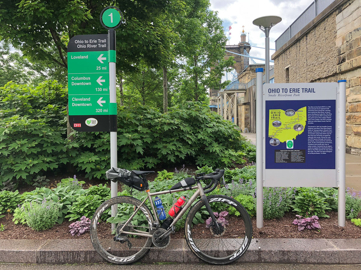
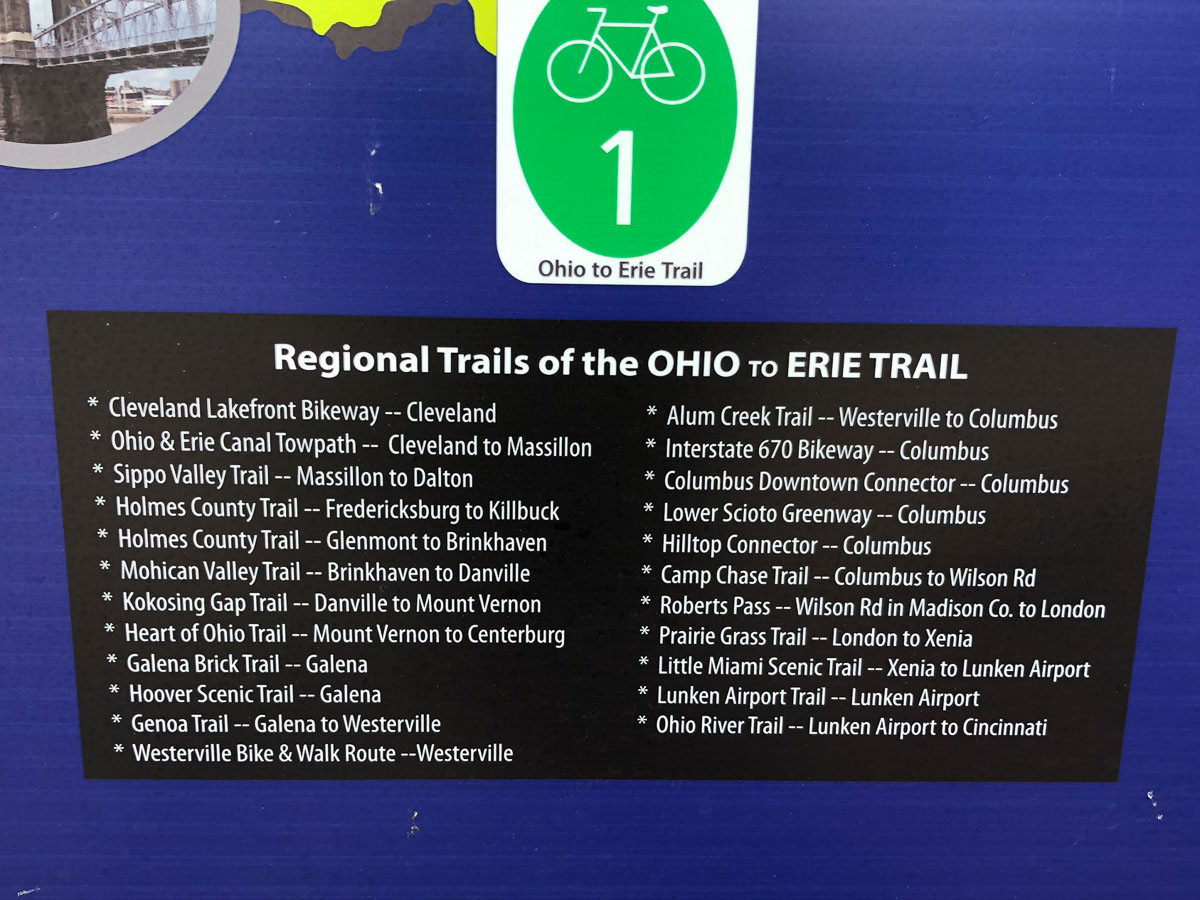
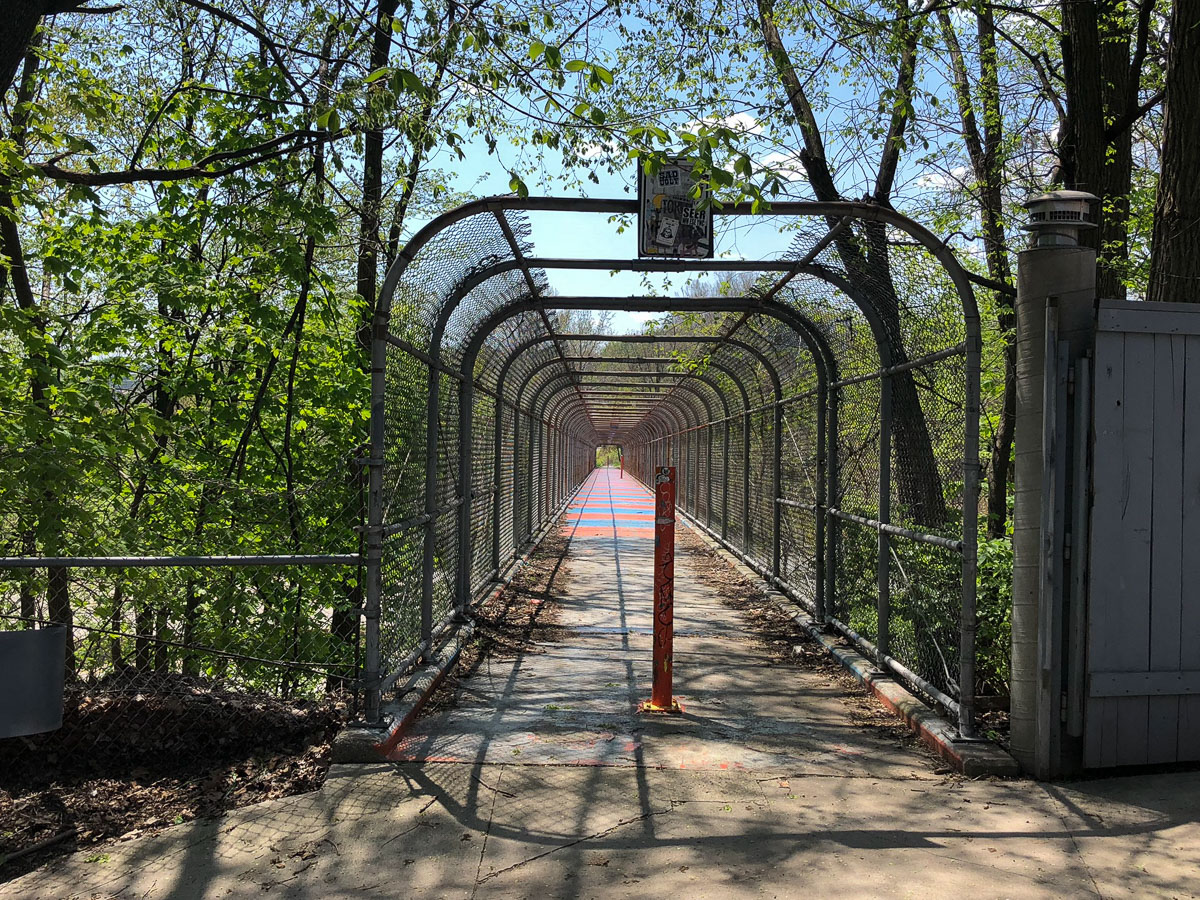
I had been warned. “Even with the official map set, most people still tend to get themselves lost.” That ominous bit of advice was in reference to the Ohio to Erie Trail – a collection of bike paths that mostly string their way across the state of Ohio from Lake Erie to the Ohio River, or vice versa. The trail is unique in that majority of its 326 mile length consists of paved rail trails or gravel towpaths. But it’s the bits in between those paths where you’re likely to get lost. Fortunately for me, I had a secret weapon.
Years ago, when I when I had initially ordered the OTET (Ohio To Erie Trail) map set, it was still one of the best ways to get an idea of the total route. Since then, the paper maps have morphed into a Northbound or Southbound Tour Guide which are each split into four different sections to make it easier to use along your journey.
Interactive Maps
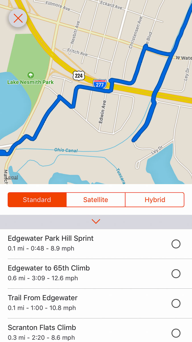
But with this being the age of the internet and all, now there is an interactive trail map as well. Not only does this make route planning much easier, but it also provides the most up to date trail map. That’s important to note since the trail is still not fully complete. The OTET continues to work with many of the connecting cities to add new sections of trail which can mean quickly finding your paper map out of date. But even with the interactive map, there’s a good chance that even it is a bit behind as I found with a few sections. Not to mention the high probability of road or trail closures that may affect your route over the full 326 miles.
Because of this, months before I actually set out for the ride I found myself using the interactive map as a starting point, cross referencing that route with Google maps, and then plotting it all out on the Komoot desktop app. This is where Komoot both shines and struggles. In order to connect all of the sections of trails with the most bike friendly routes, you’ll need to map through fields, parks, and things on the map that programs like Google maps simply won’t let you include in your route.
Need your route to take you down an embankment to link up to a trail without having to take the long way around? Komoot can do that – if you know how. After struggling with off-grid planning for way too long, a call with Komoot revealed that there is a specific way to do it. The key is to plot two points around the off-grid thing you want to route through, and then plot a new point in-between those previous two points by clicking off the ‘follow ways’ option. It’s a tricky process to master and it seems to still have the occasional bug, but once you figure it out, it is possible to plan some very detailed routes – all of which will then be shown directly on your screen with devices like the Wahoo ROAM.
GPX Files
Given my limited time to complete the full ride, I planned to split the OTET into a half day, two big days, and finishing up on the fourth day in under 72 hours if everything went to plan. This would be my longest self supported ride, so I wanted a goal that was challenging but also feasible. To match up with those plans, I created four different ‘Tours’ on Komoot, one for each day. This would make each day as simple as selecting the route on the ROAM (after preloading them before I left) and hitting start. From there, simply follow the instructions on the screen or just look at the map.
Note that since I’ve completed the ride, Komoot has added a multi-day planning feature that would prevent you from having to create four different planned routes. However, that’s limited to the Komoot Premium subscription, so without it, you can still plan multi-day routes this way.
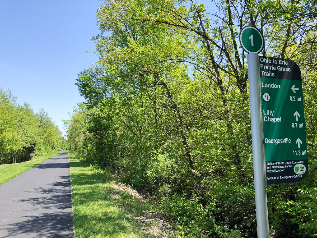
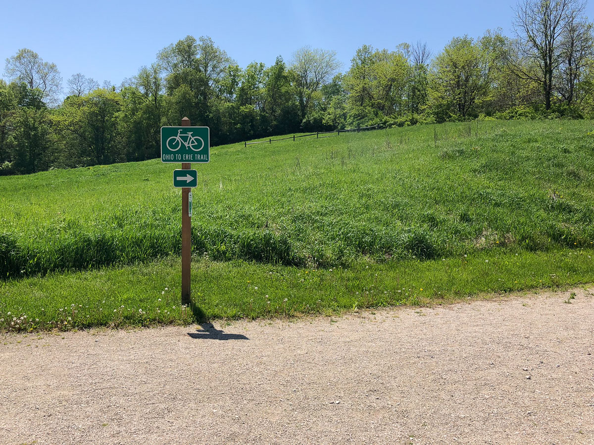
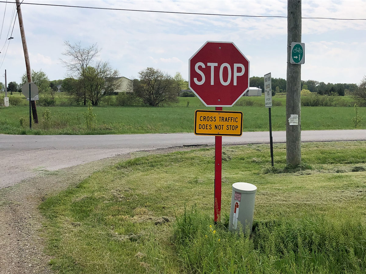
While the OTET is well signed, I could see how one could easily get lost if you are zoned out and just riding along. As expected though, with the help of the Komoot routes on the ROAM, I was able to cruise through every junction without worry. This combination really triumphed on a few of my own personal reroutes where riding through a park, over a pedestrian/cyclist bridge, or cutting through a parking lot made a lot more sense than the “official” route. If I could avoid riding on major thoroughfares I jumped at the chance, partly to avoid traffic and partly to add some excitement to a fairly mundane route.
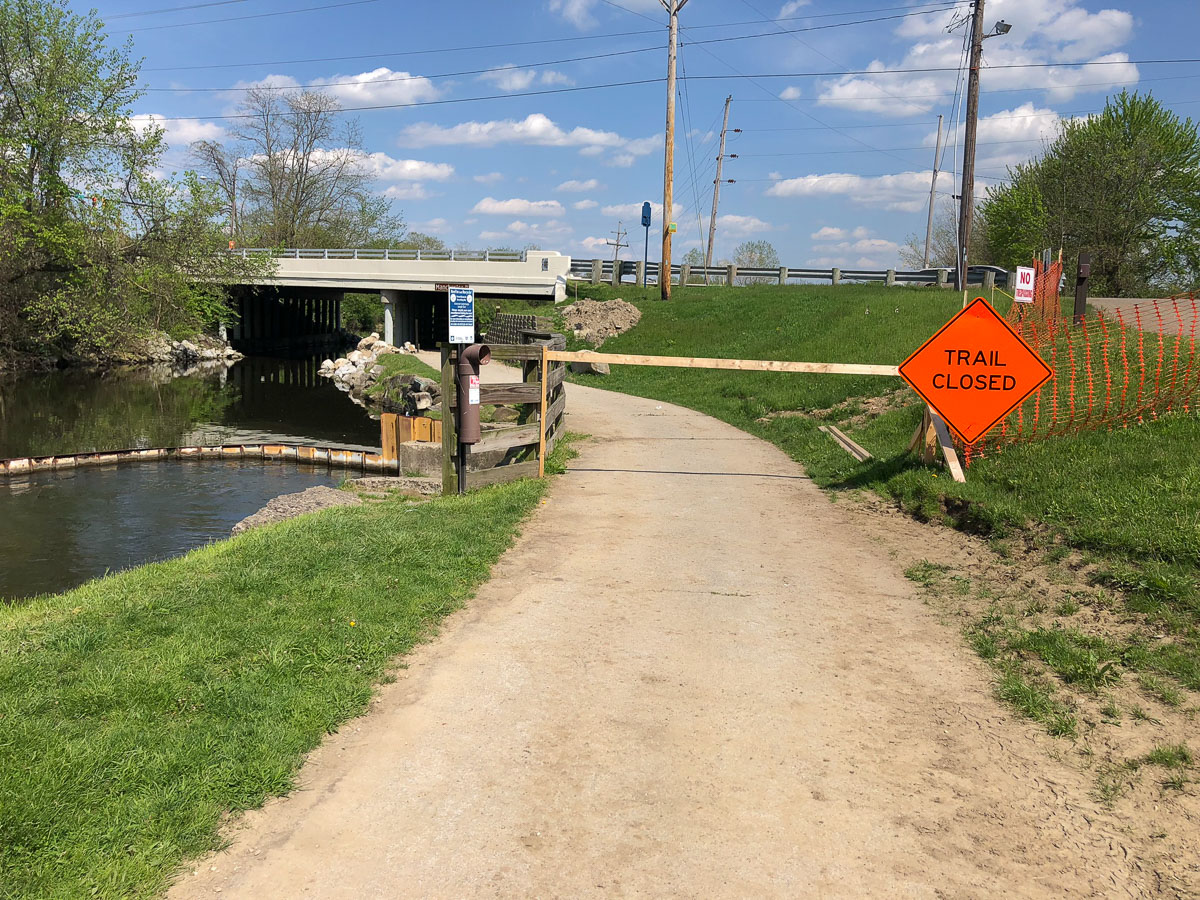
Road Closed
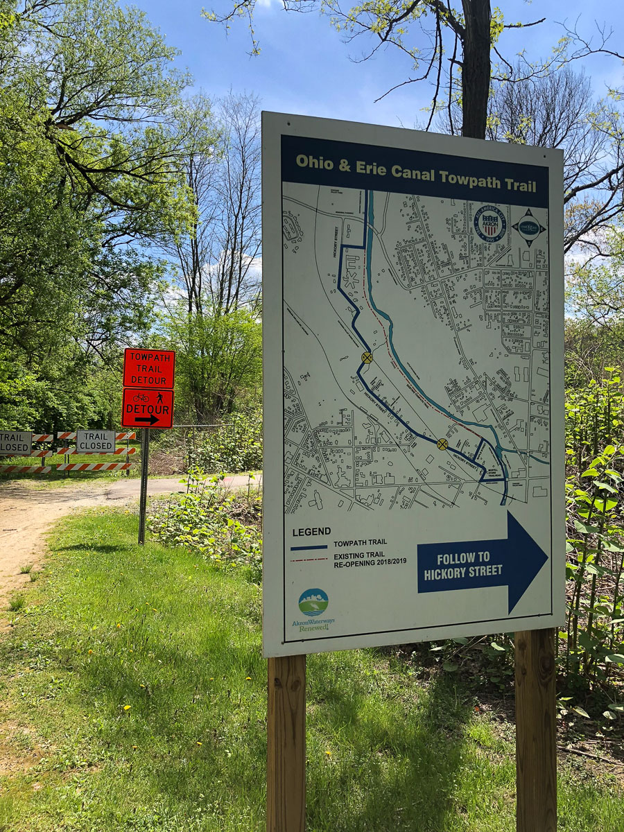
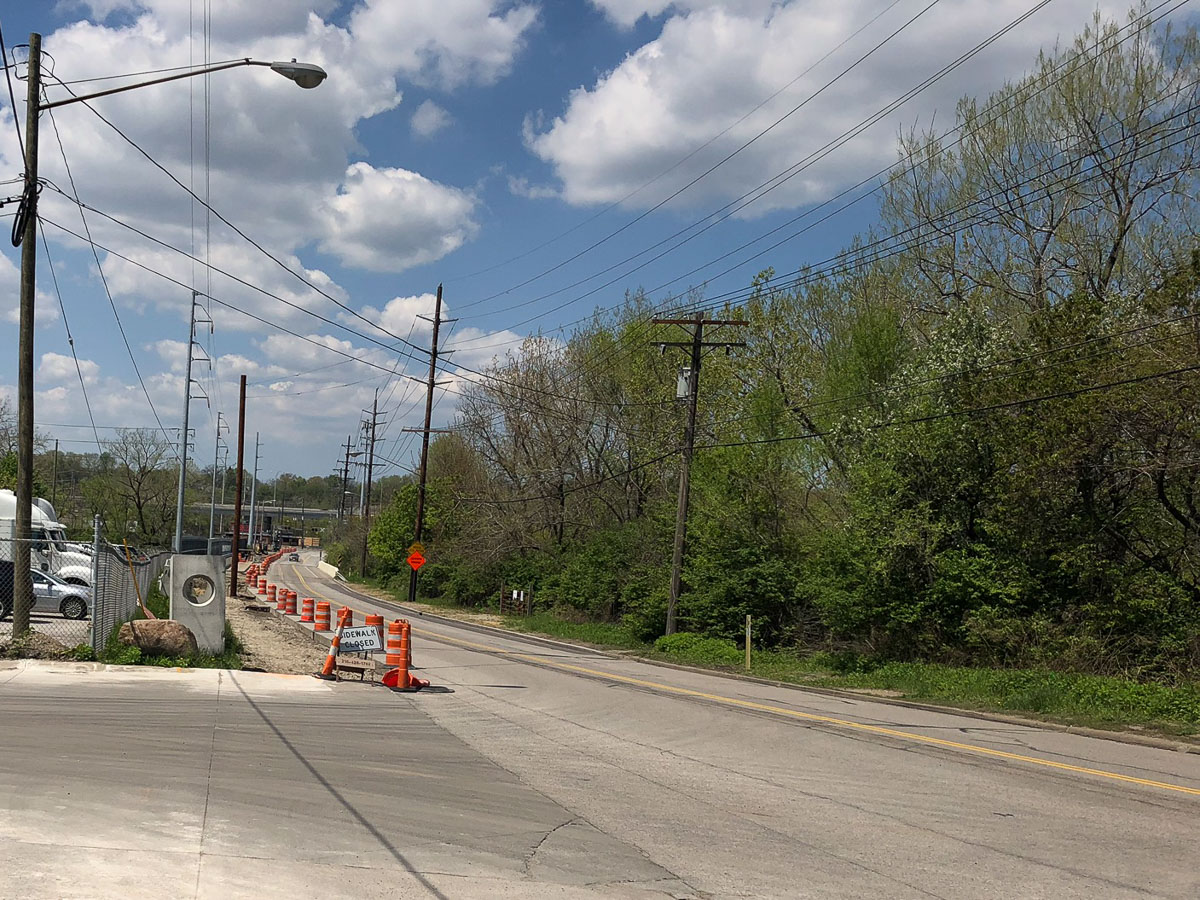
It also came in handy when I ran into a completely closed section of trail without any sort of detour. When your destination is still more than 220 miles away, the last thing you want to see is a trail closed sign with no way around it. Since the closed section of trail was along a canal and a major highway, there were no easy ways to cross and the trail wasn’t a “closed, but you can still ride around it” kind of thing. It was just gone. Something about Asian Carp mitigation? After consulting Google, it looked like I could make it across one of the few bridges if I scrambled up an embankment with my bike, tossed it over a guard rail, and quickly pedaled a short distance along a 4 lane section of high way.
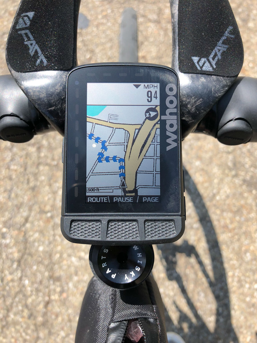
From there, a cut over to the left led to a pedestrian bridge, at which point the ROAM picked up on my detour and directed me back towards the original route.
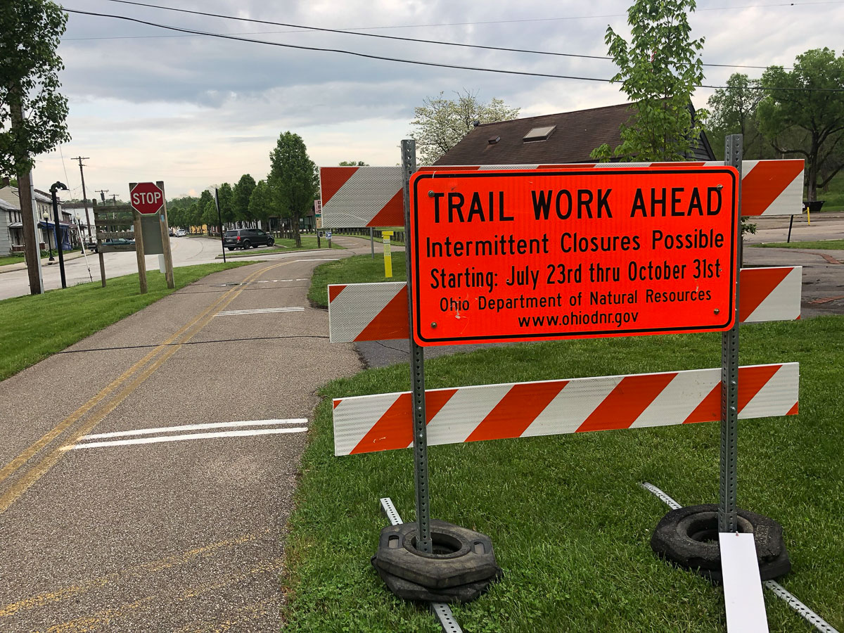
Apparently this closure was listed on the website under route alerts, but it was easy to miss. So if you’re planning your own ride, make sure to check the link above to monitor the current closures. The OTET Facebook page is also a good resource for up to date trail info. Thankfully, that was the only major blockage I ran into without a detour, but since I’ve completed the ride a number of new sections have closed for various repairs. Again, just make sure to plan ahead if you’re thinking of riding the trail from end to end.
With the exception of a few detours, my OTET ride on a Why PR couldn’t have gone any better. I’m one of those people who likes to know where they’re going and to be a able to see it on a map, so having all of that information at my fingertips took a lot of the stress out of riding from one side of the state to the other. Komoot isn’t without its faults, but if it continues to improve it seems like a very useful tool for exploring new terrain and when paired with a GPS capable of turn by turn directions like the ROAM, they’re perfect travel companions.