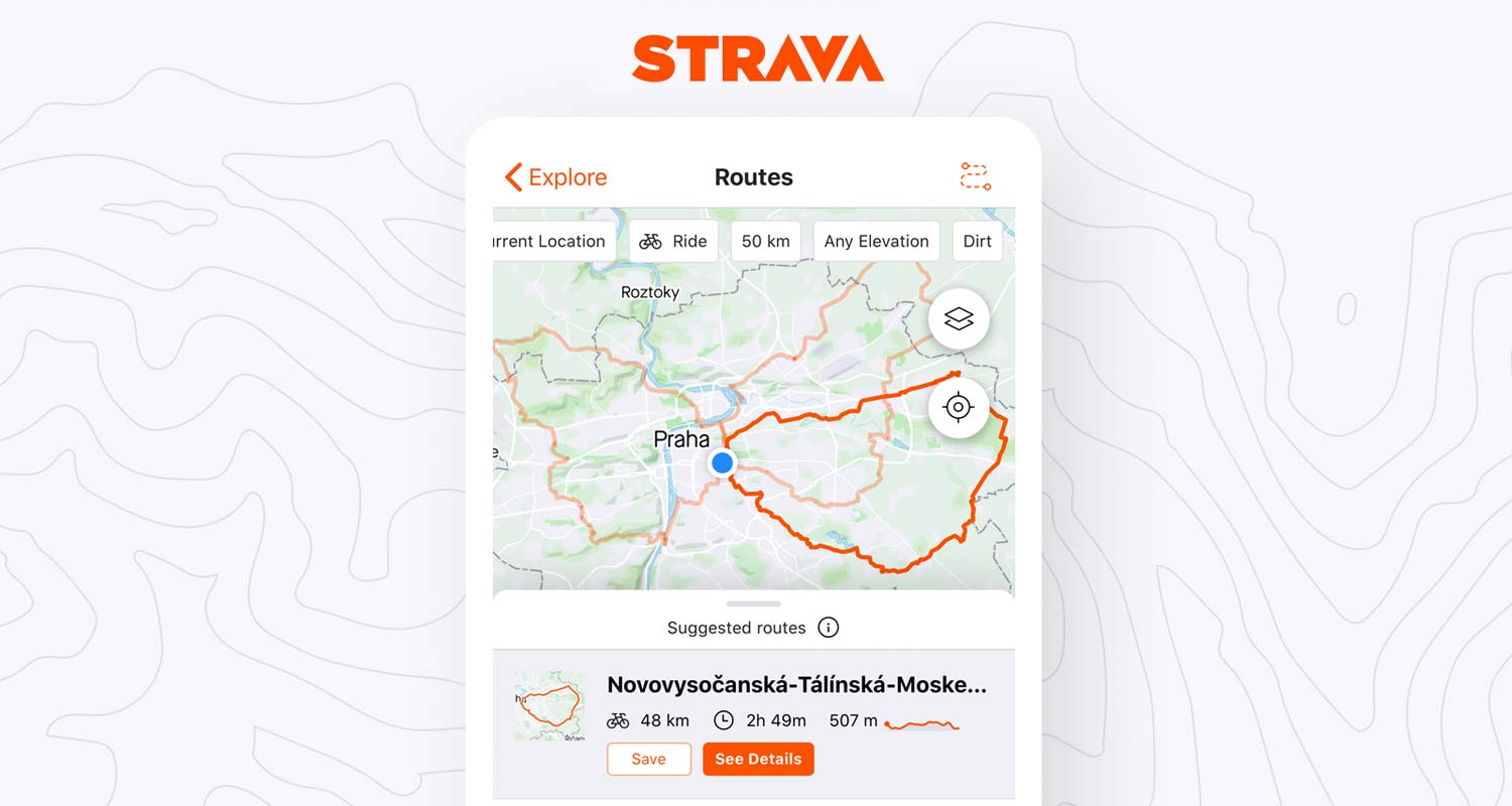
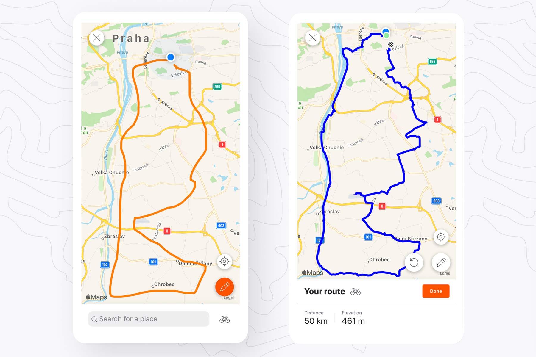
Following a number of other recent app updates that let you edit your ride on the mobile app, re-order your feed to show favorite athletes, and more, Strava is now adding Routes planning to your phone. It’s still in Beta, so we are all going to be guinea pigs for a while, but it means you can pick from automatically generated route suggestions or draw your own Heatmap-powered route by dragging your finger around inside the app.
Strava Routes Beta automatic mixed surface ride generator
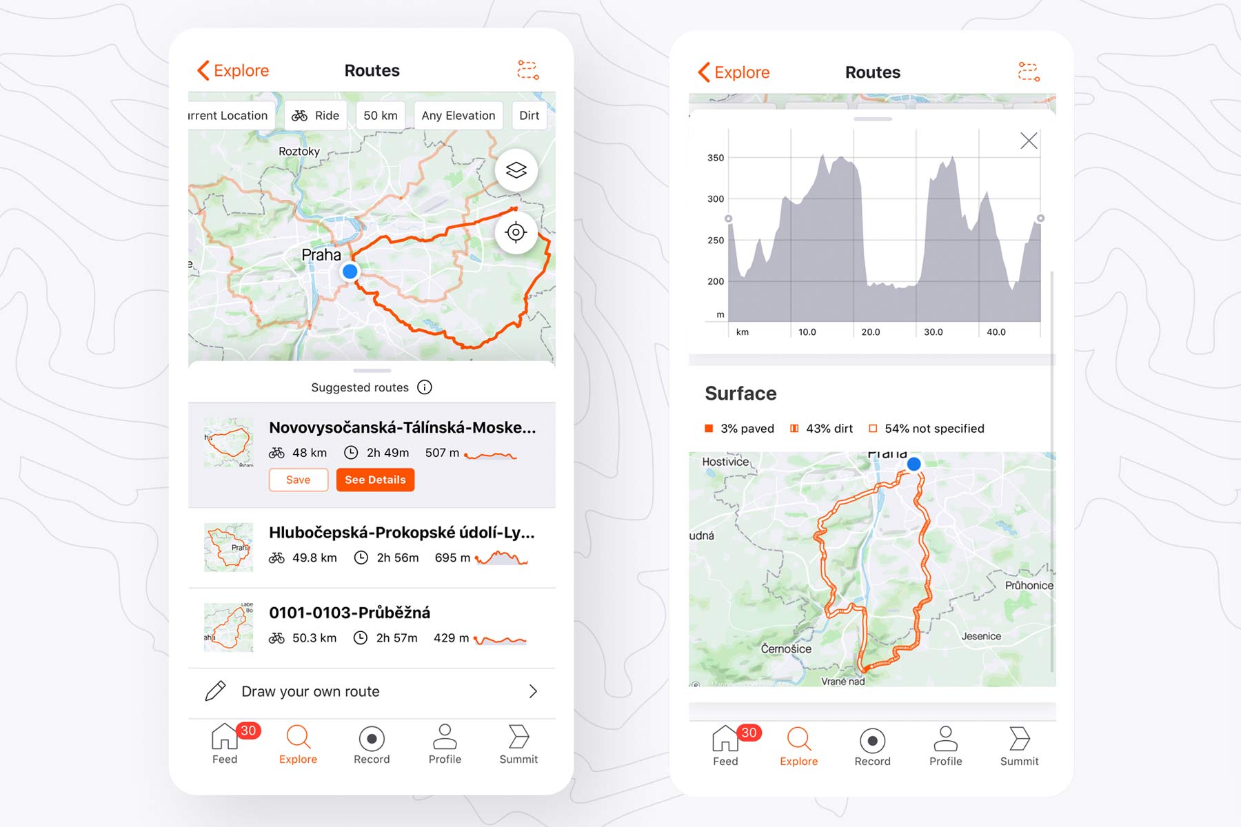
The new Strava Routes feature is designed to make it easy to find new places to ride, whether you are in some place new, or just outside your back door. With five simple variables you can filter what you are looking for: your location or any other start point, ride or run, approximate distance in pre-determined intervals, flat or hilly elevation gain, and road or dirt or whatever.
Routes Beta will then automatically generate three possible routes to try out, letting you compare them in detail to see which looks best to you. So far in beta, it seems that a lot of ‘surface data’ remains unspecified. That likely should become more populated as this function is refined, but it looks to me like that is mostly unknown paved surface on the routes I’ve played with so far around our Prague office.
Strava Routing suggestions powered by Heatmaps
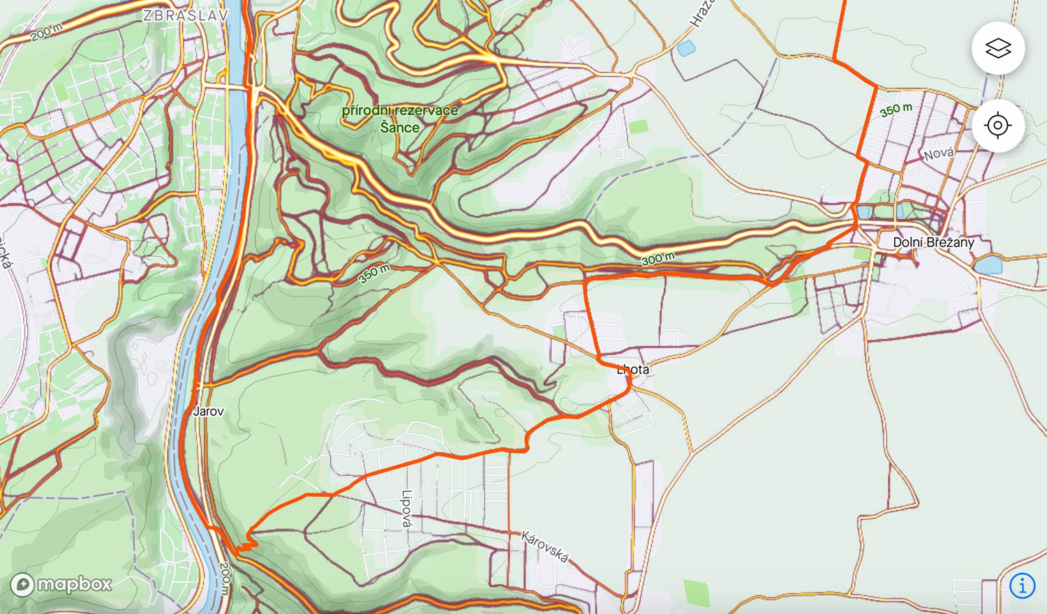
Behind the suggested routes is Strava’s global heatmap, pulling in popular segments and user tracks from 3 billion activities from 50 million athletes. That unparalleled amount of data is what Strava says sets their route planning apart, specifically taking into account user data from athletes (not cars) for more accurate map matching suggestions.
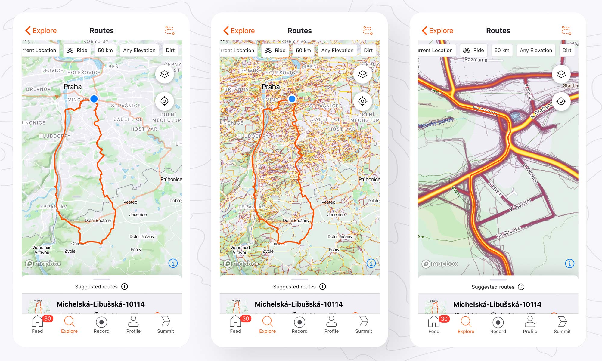
The standard view lets you look at the route selected (with the other two more transparent). But the small layer icon in the top right toggles the Heatmap background layer on/off. From the wide view, it’s not all that useful, but pinch to zoom in and you can get a good sense of where Strava is trying to take you and how popular the route is. It’s not simply a choice of picking the most popular route, but combines user data like bike type, trail/road type, and other details to fit your filters.
Suggested routes are generated on the fly, so you’ll likely find new possibilities even where you ride regularly (but for now cannot be altered). And if you don’t see anything you like, just refresh change a parameter, and it’ll create 3 new routes to try out.
Custom draw Routes with your finger from your phone now, too!
If you aren’t happy with the automatically generated Routes, you can also now create your own custom route directly from your phone (like you could already do for a long time from the desktop site.) Other apps have offered similar (if not exactly the same) functionality for quite a long time, but now Strava joins in too.
From the Routes screen (above top), just tap the dotted S track, then the + to start planning. You can zoom in to draw one segment at a time or be adventurous and just trace a big loop with your finger. Strava does the rest, snapping to heatmap data without any of the filer preferences. I’ve used it with decent results recently. It’s easy, albeit without a lot of control unless you zoom in tightly.
With either the automatic or manual Routes, once you save them, you can navigate them with the app. And any new route that is Starred (the default from the mobile app) will push to Wahoo devices if paired to your Strava account for auto transfer to navigation.
Like every other feature Strava adds (especially the betas), mobile Routes will be in constant iteration, with every app update improving functionality. For now Routes Beta is featured in the latest update that went out today, and is available to Summit All-Access subscribers. It may trickle down to lesser subscription tiers after further refinement.
